Topanga is not one neighborhood. It is a canyon of distinct pockets, and where a home sits changes the setting, the views, and the daily rhythm more than almost anywhere on the Westside. Here is how I explain the main areas to buyers.
Fernwood
The southernmost area, closest to Pacific Coast Highway, and known locally as "Climate Perfect Fernwood" for cooler summers and warmer winters.
Town Center
Where Old Topanga and Topanga Canyon come together. This is the commercial hub, with shops, restaurants, and the post office.
Old Canyon
Runs along Old Topanga Canyon Road from Town Center up to Mulholland Drive, with the creek close to the road.
The Mesa
A flat, ridge-top area west of Hillside and Will Geer Road with expansive views and many horse properties.
Viewridge
Closer to the valley, developed in a 1970s-style community with sidewalks and street lights.
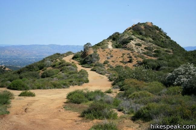
Saddle Peak and Tuna Canyon
Ridge-line and upper ocean-side areas with ocean views and hiking trails. Saddle Peak can be windy.
Other pockets worth knowing
PO Tract (near the main entrance to Topanga State Park), Greenleaf (old oak trees), Sylvia Park (flat, bike-friendly streets), and Henry Ridge (western views with valley-side access).
How to choose
Start with how you want to live: creek and village, ridge-top views, or a flatter street close to the valley. Then look at access, since Topanga Canyon Boulevard is the primary route through the canyon.
If you are considering Topanga, I would be glad to walk the pockets with you. Call me at (310) 963-2524.